What is a map? Scientific research on understanding the term “map” in the context of the development of LBS and autonomous navigation systems

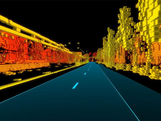
TomTom RoadDNA
In the face of strikingly intense technological development, there are significant discrepancies in the understanding of the concept of a “map”, which is fundamental to the geoinformation community, both in social perception context and scientific discourse. Because of the development of electronic products for which information about space is necessary, there is a growing need for systematizing basic concepts to avoid several scientific or practical misunderstandings.
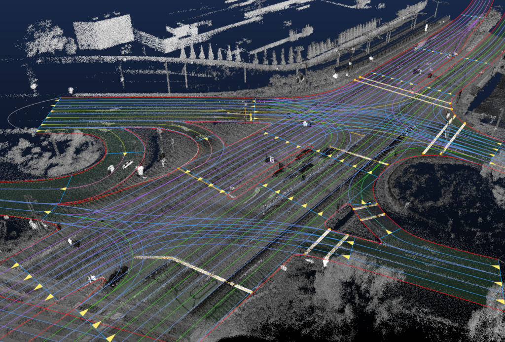
HERE HD Live Maps
We all use the term “map” in various ways when creating LBS applications and autonomous navigation systems. These solutions are today the driver of geoinformation development. Thanks to such technologies, we use more information than ever before about the space around us. Methods of transferring information are increasingly different than in the past. Information that reaches users are sometimes ordered and adjusted to the user’s perception level or sometimes not.
In the face of the development of autonomous systems, interesting questions arise, e.g. whether a map user must always be a human, or can it also be a machine, e.g. a computer in an autonomous car or an autopilot in an aeroplane or UAV? When do we deal only with data transfer and when with a map?
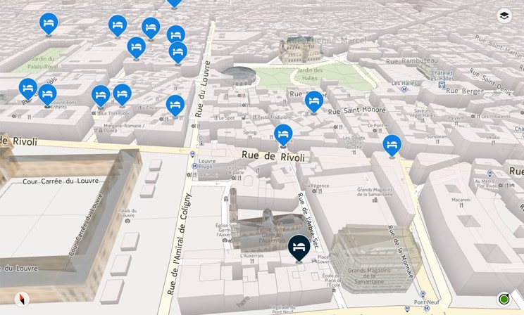
HERE 3D Map
If you want to stop for a moment in your everyday professional rush and think about these problems, we encourage you to take part in our study. On the one hand, it can be an opportunity for self-reflection, and on the other, you’ll help us understand how geoinformation technology changes the perception of the concept of “map”, which is so important for the entire geoinformation community. After the research is completed and published in a scientific journal, we will share the results with you.
We conducted the first part of the research at Warsaw University of Technology on a group of people for whom Polish is the primary language. Together with the Vienna University of Technology, we are now expanding our research to include English-speaking, German-speaking and Spanish-speaking people. We plan to conduct scientific research with subsequent groups soon to determine whether this concept is now received similarly in different languages.
Choose a questionnaire depending on which language is your primary language. The survey will take you less than 5 minutes to complete.
Thank you very much and we encourage you to think about the meaning of the term map yesterday and today.
English version: https://www.interankiety.pl/i/bW6Rbj5W
German version: https://www.interankiety.pl/i/d4RxyqVP
Spanish version: https://www.interankiety.pl/i/xzLny2b9
Chinese version: https://www.


#Featured


Next article

The coronavirus lockdown has left many of us feeling restless with unexpected extra time on our hands. It may be a good idea to use some of this additional time to learn something new and upskill yourself. Many top universities and professional institutes offer free online GIS learning resources that you can start anytime and learn at your own pace. We are listing some of them here.
Pennsylvania State University
Cartography and Visualization: Apply cartographic theory to practical problems, with a focus on design decisions such as selecting visual variables, classifying and generalizing data, applying principles of color and contrast, and choosing projections for maps.
Advanced Python Programming for GIS: Learn advanced applications of Python for developing and customizing GIS software, designing user interfaces, solving complex geoprocessing tasks, and leveraging open source.
Advanced Analytic Methods in Geospatial Intelligence: Examine how time and place work with general intelligence techniques to create geospatial intelligence. Learn and apply critical thinking skills, structured analytical techniques, and other intelligence methods in a geospatial context.
Massachusetts Institute of Technology
Geographic Information System (GIS) Tutorial: This resource is designed to accustom GIS novices to the various available software packages and introduce them to some of the many features included in GIS systems. Topics include an introduction to two GIS applications, spatial data analysis, and spatial statistics.
Spatial Database Management and Advanced Geographic Information Systems: This course offers a very in-depth set of materials on spatial database management, including materials on the tools needed to work in spatial database management, and the applications of that data to real-life problem-solving.
Principles of the Global Positioning System: The aim of this course is to introduce the principles of the Global Positioning System and to demonstrate its application to various aspects of Earth Sciences.
The Hong Kong Polytechnic University
Introduction to Urban Geo-Informatics: A combination of GIS, remote sensing, global navigation satellite system, location-based system, underground utilities survey, and smart city application, this massive online open course (MOOC) has been made available through edX platform.
Trinity College
Data Visualization for All: In this data visualization course, made available on edX platform, you will learn how to design interactive charts and customized maps for your website. The course begins with easy-to-learn tools and gradually works its way up to editing open-source code templates with GitHub
Also see: A Day in the Life of an Ordnance Survey Cartographer
Esri Academy
Getting Started with GIS: Get an introduction to the basic components of a GIS. Learn fundamental concepts that underlie the use of a GIS with hands-on experience with maps and geographic data.
Python for Everyone: Learn fundamental Python concepts and be introduced to the Python scripting environment in ArcGIS. Tips and techniques to help you master proper Python syntax, script flow, and error handling are presented.
Using GIS to Solve Problems: GIS is used to explore patterns, answer questions, and solve problems about many different topics. In this course, you will learn a five-step process to solve a problem using GIS.
Interesting: A Day in the Life of an Amazon Maps Cartographer
Please note that we will continue to update this article periodically with new geospatial course information. If you have benefitted from a free GIS learning resource or would like to recommend an online geospatial course for this list, drop a comment or write to ishveena@geoawesomeness.com