
 Spatial sciences have come a long way from their modest beginning as simple diagrams being drawn in sand to something as complex and advanced as Global Navigation Satellite Systems (GNSS). In fact GNSS is probably the only commercial industry in the world where the concept of relativity places an important role.
The importance and power of spatial thinking as a skill set is being realized and more importantly is being taken seriously by policy makers, academic establishments and the industry.
What is Spatial thinking? To me, spatial thinking stands for the ability to gather data from your surroundings, to process the data and to be able to make informed decisions. The decision might be as simple as “which direction do I turn?” or as important as “How do we plan for sustainable development of industries?”
Few days back, I read this amazing and intriguing article on the Harvard Business Review blog on spatial thinking. Harvard is one of the most recognized and famed universities in the world. In their 375 year old history, Harvard has only terminated one academic program. Just one in their entire history and very disappointingly it was the Geography department that faced the axe.
Thankfully for Geographers like you and me, the computer revolution of the 40s really changed the way geography was being used. It helped Geography sustain its importance in the computer era. Geography quickly evolved from being a data visualization tool to something much more powerful, it became a “data analyzer”.
The Geospatial revolution traces its roots to the first map that really changed the way geography was being used “How often does a map change the world”, but the real revolution began with Dr. Roger Tomlinson’s Canada Geographic Information System. However, the decision by Harvard to eradicate their Geography department was soon followed by numerous other technical universities. Spatial thinking as a skill set was lost and was dying a slow death until its revival in the late 90s. There is still a lot of ground that needs to be covered to be able to introduce spatial thinking to the masses.
Spatial thinking isn’t really something new neither did it evolve after the introduction of computers and data visualizations. The ability to think spatial was something very important right from the evolution of Human civilizations. The integration of spatial thinking with computing has allowed us to be able to visualize huge volumes of data and take it further by analyzing them to help make better and informed decisions. The conference “GIS for the United Nations and International Community” is a testament to the power and importance of GIS.
As I look out on the world of data visualization, I see a lot of reinventing of the wheel precisely because so many young, talented visualizers lack geographical training. Those interested in a 21st century career in visualization can definitely learn a lot from 20th century geographers like Jacques Bertin, Terry Slocum, and Cynthia Brewer, and they will identify pre-existing principles, cognate scholarship, and countless masterpieces that are extremely useful guides.
– Kirk Goldesberry
The quote might sound like a word of caution and advise, but surely there is no denying that we need to understand the history of spatial thinking. Sometimes History not only serves as a collection of the past but also helps evolve the ideas for tomorrow.
Today, we have come to witness the power of spatial sciences in every dimension and field. Spatial sciences are being used in Precision agriculture, Car Navigation, Asset management, Tracking of kids to keeping a tab on Satellites in orbit.
Who knows what tomorrow has in store for us 😉
Source: Harvard Business Review


#Business


Next article
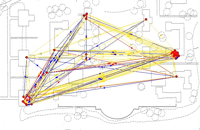
 Social activism has taken to a different space – the internet. The power of internet based social activism is simply impressive and far reaching to say the least. Social media has been doing a phenomenal job of connecting people, addressing societal and governmental challenges. Geospatial technology has time and again shown how powerful is the Locational information and it is no surprise that social media is starting to adapt and embed the power of location in their applications and information transfer. Speaking of activism, I believe it is time to highlight a new and latest form of activism in which location information plays a key role – “Geo-Social Activism”.
I love examples and here is one regarding Geo-Social Activism. Mumbai the commercial capital of India is a lovely city with a beautiful coastline and numerous other things that make the city what it is, but something that is very disturbing in the city is the Noise pollution level. The Awaaz foundation has been creating awareness about this problem since 2002. A month ago, their cause was reported by the Times of India and a prominent word that caught my attention in the heading of the article is “map”. The article is a reflection of how crowdsourcing of geospatial information is making social activism all the more effective and inclusive.
The foundation had asked citizens of Mumbai to record the noise pollution levels in their part of the city using an android application “Noisewatch”. Noisewatch is a simple app that records the decibel levels in your surrounding using the microphone in your smartphone. A simple idea combined with an efficient application has lead to better awareness and crowd participation in something that would have usually been the research thesis of an environmental sciences student which in the best case scenario would have just remained an academic exercise that never really made much of an impact. Enter Geospatial technology and smartphones, we have an entirely new phenomenon of Geo-Social activism where the “crowd” contributes to a cause that they can relate to and the best part of the entire exercise is that the final report is in a form that everyone understands – MAPS!
The exercise by the foundation was a big success and they were able to gather noise level information across the city. The biggest reason why the crowd was behind this exercise is because they were able to see their contribution immediately on the map! For the general public that is really encouraging and gave them a sense of ownership. It made everyone the owner of the map. The timely dissemination of the data gave the public a reason to participate. When you think about it, maps are probably the only advanced form of visualization and information where language is no barrier neither is your education level and is easy to understand 🙂
Oh yeah, the government in Mumbai finally realized the seriousness of the problem when a map was shown to them and has promised to work on it! Fingers crossed! Noisewatch is an application by the European Environmental Agency. The app is part of the initiative “Eye on Earth” by the EEA. The initiative is really interesting 🙂
So what you folks think about Geo-Social Activism? Let us know.
P.S: There is no such word as Geo-Social activism… But hey, someone has to coin a new word to explain geospatial tech in social activism 🙂