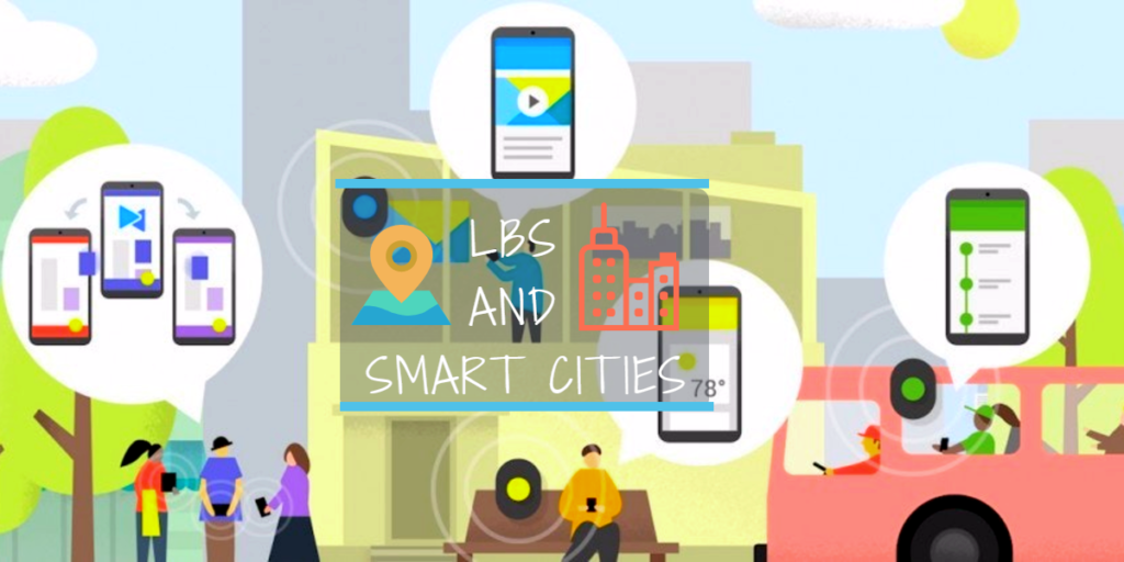

Location Based Services (LBS), when combined with data analytics and city demographics, has tremendous potential to tap into the pulse of the city and thereby improve the quality of life for citizens. The integration of LBS and Smart City Initiatives with city demographics and data analytics leads to better insights as well as enables city authorities to target the right people at the right time and at the right place. There are many international examples of LBS aided Smart City Initiatives proving the above statement.
This integration is a win-win for both citizens as well as the government authorities. Moreover, this will empower city authorities to gain better insights into citizen requirements and accordingly plan as well as disseminate city services. This, in turn, will increase citizen satisfaction levels, thereby improving city branding which will further attract businesses and improve city revenues. Listed are set of International Smart Cities that leveraged the Location Based services.
Smart City Initiatives
Commitment to Sustainability
City and Country: City of Dubuque, Iowa, USA
Key Objective:
• Energy efficiency and management
- Checking water Proliferation
Description: Location-based sensors installed to trace the energy or water leakage and send its location to the concerned departments by geocoding it on GIS maps
Benefits or Impact: Rationalisation of energy consumption, demand Side energy management, water conservation, monitoring, savings, water surplus
Smarter safety Services
City & Country: Seoul, South Korea
Key Objective: Providing greater autonomy to children, the disabled, the elderly and Alzheimer patients
Description: Smart devices have been developed which utilise LBS to track children and the elderly when they move out of designated location boundary; integration with city CCTV network to track the exact location of missing member
Benefits or Impact: Family members and police department to be able to trace their missing members
Smart tourist Guide
City & Country: Nice, France
Key Objective: Updating local resident and tourists about the recreational and tourist spots
Description: Leveraging LBS and GIS, Nice delivered relevant information related to the tourist spots, buses, guest houses and hotels to its residents; tourists are also informed when they enter the city boundary
Benefits or Impact: Availability of relevant information on the current travel location
Crime mapping and smart policing
City & Country: Lincoln/ Nebraska, USA
Key Objective: Crime mapping, Hotspot generation, crime trend
Description: Tracking the locations of different type of crimes and offenders by LBS and geocoding them in GIS maps to generate crime map and hotspots for smarter policing
Benefits or Impact: Proactive crime detection, rationalised police van allocations, efficient surveillance and tracking
City control Centre
City & Country: Rio De Janeiro, Brazil
Key Objective: A comprehensive platform for the storage and analysis of meaningful data, monitoring operations and the evolution of incidents
Description: Collecting city level data through different sensors, analysing the data and hence utilising LBS to update users about the city level information such as sudden climatic change, no-entry, traffic congestion, etc. according to their locations
Benefits or Impact: Government has optimised its operation at the city level and can set priority order and alerts to create emergency command; also, the citizens are updated about city information on-the-go
On-the-go Parking
City & Country: Barcelona, Spain
Key Objective: Improved, efficient and sustainable urban parking
Description: Using LBS and superimposing it on GIS maps to update user about the nearest parking availability
Benefits or Impact: Citizens are updated with real-time parking information based on their locations
Smart business Profiling
City & Country: Pan America
Key Objective: Optimal business location identification based on trends, preferences and opt-ins
Description: Determining location demography, preferences, opt-ins through LBS; this information is then utilised for location profiling for setting up of business
Benefits or Impact: Selection of a prime and optimal business location, thus ensuring profitability and success
Wait-less bus system
City & Country: Dublin, Ireland
Key Objective: Improved bus transit system, information regarding the buses’ waiting time and optimal route
Description: Integrating location based geo-spatial data and buses timetable into a central GIS thus creating a dashboard; then utilising this dashboard and tracking real-time data information about bus timings; GIS also helped in
Benefits or Impact: Efficient management of bus flow and detailed information about bus availability to citizens
Smart urban Platform
City & Country: Copenhagen, Denmark
Key Objective: Collection of city level data through pancity sensors; Analysing LI for different sources for better city management
Description: Utilising location intelligence of all city-level sensors, analysing varied location-based information from mobile phones, GPS in buses and cars to resolve issues ranging from congestion on roads, air pollution, water logging and efficient solid waste management
Benefits or Impact: Availability of integrated and improved public services, efficient pollution, water and solid waste management
Smart healthcare
City & Country: Pan Europe
Key Objective: Leveraging LBS and Wi- Fi to provide Emergency medical services to the citizens
Description: Under a healthcare programme called Caalyx a wearable device has been created which will measure special vital signs of the citizens and communicating with the healthcare services by sending the geographic location thus leveraging location intelligence
Benefits or Impact: Provisioning of prompt and on-the-spot medical services; ailing person benefited with greater autonomy
Smart citizen Services
City & Country: Tel Aviv, Israel
Key Objective: Providing tailored specific location through collaboration and crowd sourcing
Description: Crowdsourcing location-based information from citizens and integrating it with cloud applications so that it can be accessed by others
Benefits or Impact: Availability of information related to different events and activities across the city, encouraging more participation from citizen
Collective energy harvesting
City & Country: London, UK
Key Objective: Tracking citizens who are either walking or using cycles, decrease in pollution
Description: Citizens can make their presence felt LBS, they can be a part of the London Cloud if they are either walking or cycling, thus being the part of collective energy harvesting
Benefits or Impact: Motivated citizens to use walking and cycling as a mode of transport; zero carbon footprint
e-Governance
City & Country: Los Angeles, USA
Key Objective: City services to be delivered online, online complaint lodging
Description: Leveraging location-based information dissemination to map city services and analyse complaints registered online through location-based pictures and videos
Benefits or Impact: Availability of city services information with the citizens, quick and prompt grievance redressal
Smart disaster management
City & Country: Haiti
Key Objective: Prompt Emergency service, location identification, efficient rescue operation
Description: Using LBS as a base, Ushahidi created an app which was used by the Haiti earthquake survivors to identify their location and convey them to rescue and relief workers; GIS mapping was also used to locate the nearest open area for setting up base camps
Benefits or Impact: Millions of lives saved as locations were identified on a real-time basis and quick relief facilities such as food and water were provided


#Business


Next article

Few Ph.D. theses have ever changed the world in the same world that Roger Tomlinson’s thesis has. Roger Tomlinson, widely considered as the “Father of GIS,” completed his Ph.D. entitled “Geographical Information Systems, Spatial Data Analysis and Decision Making in Government” in 1974 at the Department of Geography, University College London. The thesis was based on his experiences gained during the development of the first Geographic Information System in the world for Canada Land Inventory.

The first thesis in GIS
The Ph.D. that paved the way for GIS
Finally, after spending the last four decades on a shelf within the Department of Geography at UCL, the thesis is now available for download here (they also OCRed the thesis, so it’s searchable like normal PDF files).
His Ph.D. thesis together with his pioneering work in creating the Canadian Geographic Information System in the early 1960’s paved the way for GIS and an entire industry that revolves around it today. Dr. Tomlinson’s work together with Dr. Dana Tomlin‘s work on Map Algebra is what makes GIS such a powerful tool. (Related: The story behind the Canadian Geographic Information System). The Ph.D. thesis might be over four decades old, but it is certainly interesting to read it even today! If you are interested, here’s the link to download the “The first thesis in GIS.”