
Make 1:25,000 maps, 1-meter satellite imagery freely available: Indian geospatial thinktank

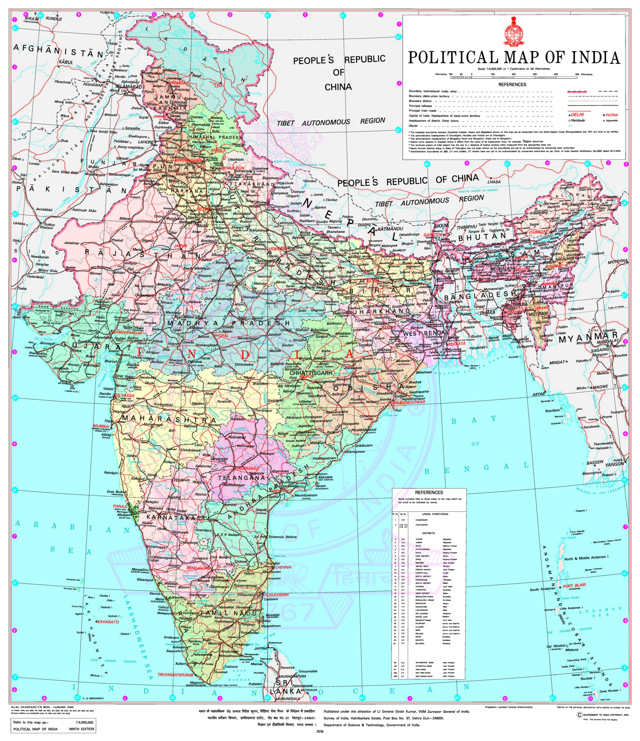 India’s collection and use of geospatial data have increased exponentially in the last few years. With the central government’s push toward smart cities and massive infrastructure development taking place across the nation, various government organizations are leveraging remotely-sensed, location-specific data in major national programs. However, in the absence of an integrated national geospatial policy, the country has not been able to exploit the full potential of this transformative technology.
To that end, a high-level thinktank has released a new vision document called Geospatial Strategy for New India, calling for the formation of an independent, non-partisan autonomous agency under the Prime Minister’s Office for shaping India’s geospatial roadmap. The document, which was released during the GeoSmart India 2019 conference, proposes the establishment of an autonomous geospatial agency that would act as the vanguard of all public sector data in India.
Some of the proposals made by the thinktank include:
Map and Data Policy: There should be minimum restrictions while respecting privacy, national security and commercial confidentiality. Maps up to 1:25,000 and 1-meter resolution remotely-sensed imagery should be made freely available.
CORS Network: India must have a country network of 4,000 CORS stations (Continuously Operating Reference Stations).
IRNSS Implementation: States can be encouraged to use IRNSS – the independent regional navigation satellite system developed by ISRO – as part of their public transportation systems such as buses and emergency services, among others.
For a country like India that seeks to become a $5 trillion economy by 2024, leveraging the digital advancements by establishing a strong digital and geospatial data infrastructure are need of the hour, the thinktank points out. Integration of geospatial technology in the government’s ‘New India’ vision will enable the development of applications that enable efficient workflows across industries, including agriculture, health, education, housing, disaster management, environment, and urban development.

#Business


Next article
Open platform India Observatory aims to support sustainable development in India
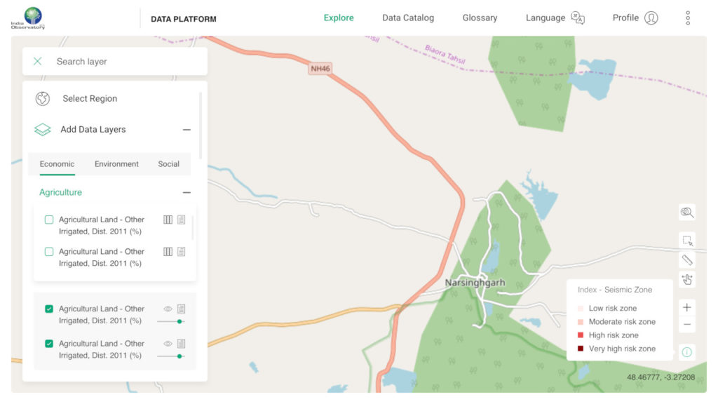
India’s village communities, policymakers, academicians and researchers can now sift through more than 1,600 layers of location-specific data to make informed decisions about natural resource management and rural development. The Foundation for Ecological Security (FES), an NGO working on conserving natural resources at the grassroots, has brought together a unique ecosystem of tools – open data platform India Observatory – to help understand the status of local-level resources and facilitate the action plans for conserving them.
The data made available on India Observatory platform has been pooled from various sources and dates as far back as the 1960s. Providing a quick summary on the socio-economic and ecological parameters of any chosen state/district/block in the country, India Observatory makes use of easy-to-understand visualization formats, including maps, infographics, and bar graphs.
The free-for-all platform comes packed with neat analytical features, such as allowing the creation of two maps on the same screen for easy evaluation and enabling visualization of comparative parameters on the same map. During the launch of the platform on the sidelines of GeoSmart India conference, Jagdeesh Rao, CEO of FES, provided a lowdown on some of these tools.
For example, the Composite Landscape Assessment and Restoration Tool (CLART) helps to identify the best areas for groundwater recharge under the Government of India’s rural employment scheme, MGNREGA. Another tool called GIS-Enabled Entitlement Tracking system, aka GEET, builds awareness on entitlements for marginalized communities by tracking eligibility at the household level. Similarly, the Integrated Forest Management Toolbox, or IFMT, assists in both data collection and analysis, and help forest departments to prepare long-term working plans.
A commendable part is that these tools can even work offline on smartphones. Further, to maximize the reach of the platform to different parts of a diverse nation, India Observatory is capable of auto-translating content into 12 regional languages.
Why India Observatory is important
Between 2016 and 2018, India’s rank on the United Nations’ Sustainable Development Goals (SDG) index dropped by 2 points, falling from 110 to 112. Presently, the nation of 1.37 billion people contributes to 20% of the global SDG gap in 10 of the 17 SDGs, and to more than 10% of the gap in another six.
So, it is imperative that India takes cognizance of Open Data which has been recognized by the UN as a universal resource to help meet the SDGs. Open Data can help governments, businesses, and not-for-profit organizations to ensure both that their SDG plans are evidence-based and that the outcomes are measurable.
However, as Rao points out, often vast data sets, algorithms, and tools are available in a range of organizations, but inaccessible to professionals and people, especially in an intelligible manner. “Through India Observatory, FES is not only helping the policymakers and administrators in sound decision-making but is also empowering people in villages and remote areas to build a bright future for themselves.”