
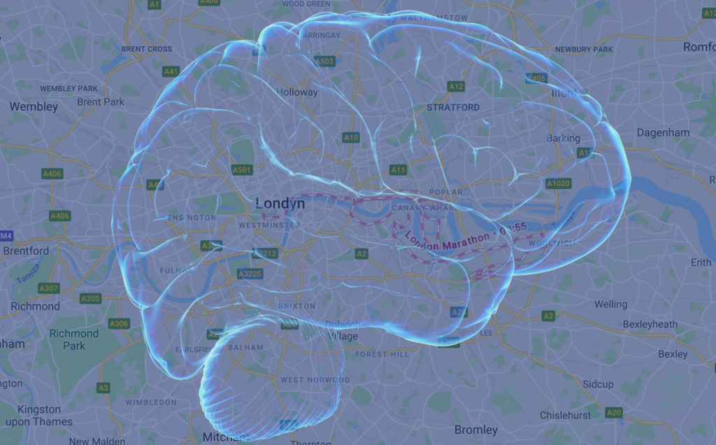
 How do we navigate from A to B without GPS? How did we do it in the pre-GPS era? 15 years ago to avoid getting lost I used to search for things around me such as street names, road intersections, or landmarks on a paper map. This way I could figure out where I was on a map, plan routes and explore nearby geography.
When you are in a new place in a little while, you start to memorize particular places around, and you begin to understand where things are in relation to each other. You don’t need a map anymore; you have a good feeling about your whereabouts. This process is called cognitive mapping, which is precisely what it sounds like: your mental model of a particular geography.
People naturally use cognitive maps, when giving directions. GPS navigation will tell you: “in 600 meters turn left”. A person will tell you: “take the first left behind the Marriott hotel.” When you want to meet with a friend, you will tell him over the phone “let’s meet in front of that vegan place, where we had that amazing pad thai last month” rather than “let’s meet at 40.716962, -73.991392”. Our brains perceive geography in the form of memories, distinctive landmarks, and shared experiences rather than coordinate systems.
With that in mind making more human navigation interactions based on elements of cognitive mapping has been a holy grail for all mature GPS navigation providers. Implementing such a solution is however extremely challenging. You need to code and decode a cognitive understanding of geographic space in the same way that humans do. From a geographic database perspective, such a data would have to be created by people who understand local area very well and updated very quickly. There is only one mapping company that has a potential to do that – Google.
Google has enough data to understand our experiences and memories related to particular places. All of this data could be used to translate our personal cognitive maps into a data layer that Google would use to make Maps more personal. We are not yet there, but the company has recently started to experiment with a similar approach. Multiple users have been reporting that Google Maps has begun offering directions based on local landmarks:
So @googlemaps instructed me to “turn right after Burger King” … I think this is the best update yet. #mindblown
— Deemah MS (@iamdeemah) April 14, 2018
Google is making Maps more and more personal for the past few years. It already knows your POI preferences, it shows your hotel reservations and traffic to our common destination based on our mobility patterns. Connecting it to our cognitive understanding of geographic space would be a natural step forward.
There is, however, a certain catch. Google is not a charity organization. It spends billions of dollars annually to offer us Maps for free, but at the same time, it’s the largest advertising company in the world. Combining our mental maps with location-based advertising might be tempting. In fact, it seems that this scenario is also being tested in parallel:
This didn’t work well for me recently, since the pizza joint was inside a gas station.. It just added some confusion..
— Scott Howell (@howellsh) April 19, 2018
At this stage, we don’t know if this is a small scale test or a broader initiative. It shows however what we might expect in the upcoming months. It also shows that Google is far before it’s competitors in the GPS navigation market.

#Business


Next article
If you thought physical maps are dead, think again! Meet the startup that is designing all-weather, wearable maps #TheNextGeo

This is the first article in the #TheNextGeo series and what better way to kick off the series than by interviewing a startup that is designing maps! Maps have been our obsession since forever and we are excited to be talking to David Overton, MD of SplashMaps – a wearable maps startup based out of London, UK.
Let’s hear what David has to say about SplashMaps –
SplashMaps®’s unique personalised mapwear are designed to improve and share your love of adventure and the outdoors. Our most popular products include weatherproof fabric SplashMaps® and SplashMaps Toobs™ (think snood, neck gaiter or beanie) of your own area with your own title. These versatile products include long distance, mountain and city editions, assuring the best navigable map is on hand for most challenges on a bike or two feet.
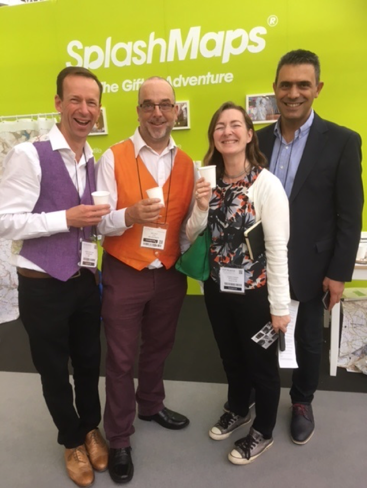
The amazing people behind SplashMaps – In the picture (in David’s words): Myself (MD), Ian Holt (CTO), Claire (all that lovely PR) and Nikos one of our amazing printers.
Q: I’m curious – How does one go from graduating with a degree in chemical engineering, working with the precious metal industry to starting a mapping company? What got you into maps in the first place?
A: You get there via travel, a special woman and re-emergence of a childhood dream 🙂
Q: It’s a bit of a stereotype about the weather in the UK but I’m guessing that infamous climate there had a big role to play in you deciding “enough is enough, I need a map that doesn’t get wet in the rain”!
A: After wrestling with paper maps on rides and walks, I finally had enough on a cycle challenge around the Isle of Wight. A map check was needed on an otherwise well marked 70 mile route. As a proud employee of Ordnance Survey, this was my moment! Because the map was an awkward size and not needed much it was in the rucksack. Taking the bag off, locating the map and then chasing it around the road as the wind bought it to life meant my colleagues just left! They trusted trial and error to be a speedier approach than trusting a man with a paper map. A great detailed map that’s close to hand and is not so prone to weather would help a lot.
Q: And when you decided to create your own wearable map, did you think “Hmm, now I need to talk to a cartographer and figure out how to design the map or was it something that you decided to take on yourself”? (David did work at the Ordnance Survey, so he kinda knows his way around designing a map)
A: The idea of maps on fabric is not new. Since WW1 maps printed on silk were known to have big advantages over noisy, fragile and space hungry paper. In fact some early Ordnance Survey maps can still be found printed on linen. So the idea of making a business out of maps on fabric was close to the top of my mind when I joined friends for a regular pub gathering of entrepreneurs from Ordnance Survey – a prototype for the OS’s Geovation hub. This tight-knit group was full of cartographic and geo-service talent – probably the best in the country. I was also lucky that through my work with Eurogeographics I’d been working with open geo-service guru, Arnulf Christl. A group of 3 was formed including Ian Holt, a world-class cartographer and serial entrepreneur, who at the time was the Developer Evangelist at Ordnance Survey, and we scrummed our way to the first prototypes.
Q: SplashMaps was one of the first companies to get crowd-funded in the UK. What was your motivation to get into the startup world? And did you imagine that crowdfunding would work?
A: I’ve always wanted to run my own business making products. Whilst I had my own successful consultancy, I was keen to develop and make products to liberate me from the “project-to-project” mentality of working for others. I always thought that a bank loan would be the way to go, but then one of my friends pointed out that Kickstarter was coming to the UK in October 2012. The timing was perfect. The process worked amazingly well. The enthusiasm for the idea was palpable and a presentation at Geomob (of which we are now a co-sponsor) completed the initial £8000 funding we needed. Not only had we proved an appetite existed for the product, but we’d gained the first customers, been paid in advance for the stock and the initial technology needed, and we’d met people who’d become our future Angel investors. The success of Crowdfunding was amazing. We still keep the 2013 video the BBC made of it on our front page.
Q: SplashMaps isn’t just being used by people looking for a cool map, its being used by some amazing people for really interesting reasons. Could you tell us a bit more about that?
A: The most obvious use for SplashMaps is in cycling, running and walking and we see a lot of gift purchases now that we push broader mapwear ranges. But we do have some amazing extreme customers who swear by the maps.
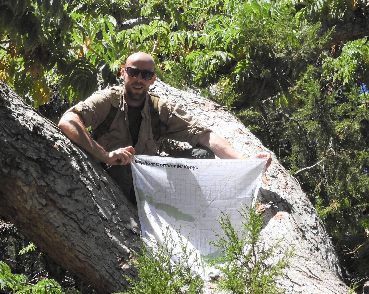
SplashMaps on Mount Kenya
The Scientific Exploration Society regularly order SplashMaps of some of the most remote areas of the globe. They deliver aid and expertise to isolated communities and in their work great maps are important. Although it’s important that their maps can survive everything they’ll encounter in some of the most demanding conditions on the planet, they often tell us that the high detail of our maps in areas of Africa, South America and Asia, can’t be matched by other mappers either! In short, we’ve defined the perfect map spec for exploration.
Because of our maps are both accurate and indestructible we have a number of current and ex-servicemen on security details around the globe who bring the map idea back to its roots! They are using SplashMaps as modern day escape and evasion maps, just like they did during the 2 world wars and the cold war that followed. Our Aerial imagery maps, for example, have been used in Kabul for the safety of BBC reporters stationed there.
And there’s always the quirky ones too. Just this weekend I had an email and video from 2 blokes who are riding a moped and sidecar around the world! Lovely footage of how they are using our World Map to measure progress and keep the insects off their necks! Check their video here.
Q: As a startup founder, I am sure that there are many things that you must have learnt along the way. What was the most interesting feedback that you received so far?
A: “While the ducks are quacking, feed them”, a quote by Peter Bennett, our late and inspirational financial wizard and a shareholder. It’s a great phrase that echoes around my head whenever there’s a whiff of publicity in the air. It led me to build on the publicity around a rather painful TV appearance in 2016, turning public rejection into a positive news story that boosted the profile of the business and our sales. God bless you Peter!
Q: More often than not it takes a while to find a business model that works for you, have you cracked that code already?
A: We’ve evolved a model of direct sales and exploiting others’ retail presence. While it takes a lot of energy to support both (direct requires constant investment in services and advertising, while the retail side demands personal presence, marketing and negotiating and hand-holding buyers) we find that the two both support a need for constant incremental and quite radical product development which helps to keep SplashMaps fresh. A business model is a fluid thing, right now ours is evolving to support the clear signals we’re getting from the USA market.
Q: You are based in London and work closely with Ordnance Survey. How is the geo-startup scene there?
A: We are huge supporters of the “open where you can” movement. Our maps lean towards open data (such as OpenStreetMap), but we’re also well seasoned in the use and acquisition of licensed data. London has a vibrant scene on both fronts thanks, in part, to Geovation (Ordnance Survey’s incubator and hub) and Geomob, in which we have a strong involvement.
The London Geo-scene is well served by Geomob, a great gathering for all those with an interest in Geo and OpenStreetMap in particular. We are a co-sponsor of this group which hosts the latest and most inspirational speakers in the sector at their bi-monthly meetings. Come and join us, the best presenter gets the coveted SplashMaps award and everyone gets a free beer!
We are partners of Ordnance Survey, using both their open data and proprietary data sets in unique ways. OS’s Geovation ecosystem in London is a great incubator for start-ups in the sector. We’ve benefitted from their advice and the terrific office space and facilities.
But, we’re actually based in Eastleigh, Hampshire, 1hr 15 mins from London on the train, and just 2.5 hours from Paris including the 5 minute drive to the town’s airport. Surely this will become a major Geo-hub in time…
Q: Okay, this is a tricky one – on a scale of 1 to 10 (10 being the highest), how geoawesome do you feel today?
A: 10! We’re always geoawesome at SplashMaps.
Q: Any closing remarks for anyone looking to start their own geo startup?
A: Trust in your instincts more than you think you need to. You will have moments where you look back over a period and think “is this worth it”. When you do, remember that your products and services are being used right now by someone finding their way. They’re benefiting from something you and the team developed. Does this affect the way you feel? No? Well, if you don’t have an interest in improving how people do stuff, you shouldn’t be in business.
The Next Geo is supported by Geovation:
 Location is everywhere, and our mission is to expand its use in the UK’s innovation community. So we’re here to help you along your journey to success. Get on board and let’s start with your idea…
Learn more about Geovation and how they can help turn your idea into reality at geovation.uk
About The Next Geo
The Next Geo is all about discovering the people and companies that are changing the geospatial industry – unearthing their stories, discovering their products, understanding their business models and celebrating their success! You can read more about the series and the vision behind it here.
We know it takes a village, and so we are thrilled to have your feedback, suggestions, and any leads you think should be featured on The Next Geo! Share with us, and we’ll share it with the world! You can reach us at info@geoawesomeness.com or via social media 🙂