GeoFlow Plugin For Excel Will Let Make Spatio-Temporal Visualizations Directly From Excel!

Excel is really powerful tool for playing with big data (especially with Power Pivot plugin) however spatial visualization of this data requires going back and forth to GIS software, joining tables or geocoding. Doable but time-consuming. Starting from now Microsoft teases us with a tool that will make it much easier to show data on the map… Last week Microsoft is announced the public preview of project called “Geoflow for Excel”.
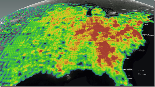
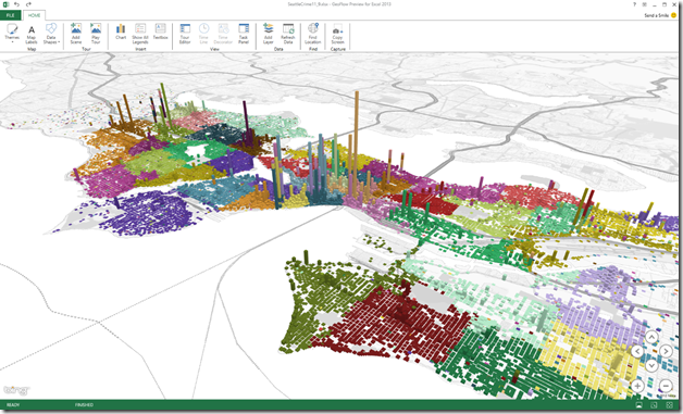
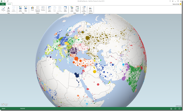
Essentially GeoFlow is a tool (Excel plugin) for visualizing geospatial and temporal data. It allows users to plot up to 1 million rows of data stored in an Excel workbook, including Excel Data Model or PowerPivot, on a Bing Maps. The data can be visualized as 3D columns, heat maps, and bubble visualizations, which is not perfect from cartographer’s point of view but enough to discover new insights based on visual analysis of data in space and time.
Check out couple of maps to see what can you do with GeoFlow:
Not bad at all. On Excel blog you can find some tutorials how to play with the tool.
Of course this is not the first time users of Excel can create maps. Last summer, Esri Maps for Office was announced as a new location analytics tool linking ArcGIS Online data to Excel. Users of other spreadsheets tools like Google Docs can leveraage similar functionality from Google Fusion Tables. However it’s about time that Microsoft finally makes some use of it’s Bing maps (which I personally never use). I will play with the tool and give you some more insights about it soon. Meanwhile check the video below:

#Featured

Next article

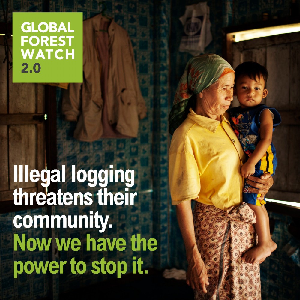 Google together with the University of Maryland, USA and the UN Environment Programme, has developed a tool “Global Forest Watch 2.0” to prevent deforestation and monitor forests in real-time. The tool is slated for launch later this year.
“Global Forest Watch 2.0 is a powerful near real-time forest monitoring system that unites satellite technology, data sharing, and human networks around the world to fight deforestation.”
Most forest monitoring tech that exists today is not fast enough to nap criminals who indulge in illegal logging and other deforestation activities. In a sense these Systems use Remote sensing as a tool to estimate accurately the extent of deforestation in remote and inaccessible areas after the damage has been done. More of an estimation tool than a prevention tool, one could say.
Global Forest Watch 2.0 promises to do better than that, taking advantage of remote sensing technology and showing high-resolution, near real-time deforestation maps on a user-friendly platform. Not only that, it will also provide global deforestation alerts to forest officials, helping them identify illegal logging and deforestation hot spots.
Google Earth provides cloud computing-based forest information to the officials. Maps from remote forests in the world are processed in the industrial world courtesy high-speed internet which then is sent back to the forest officials on the ground to evaluate the condition and prevent deforestation activities besides collection photographs and GPS data for verification. Crowd sourcing of data adds volume to the records and helps hold decision makers accountable.
Global Forest Watch 2.0 may not be the “all in one” solution to prevent deforestation but surely it has he potential to democratise the management and protection of forests.
Here’s the link to a video about GFW 2.0:
Source: World Resources Institute and EnvironmentalLeader