
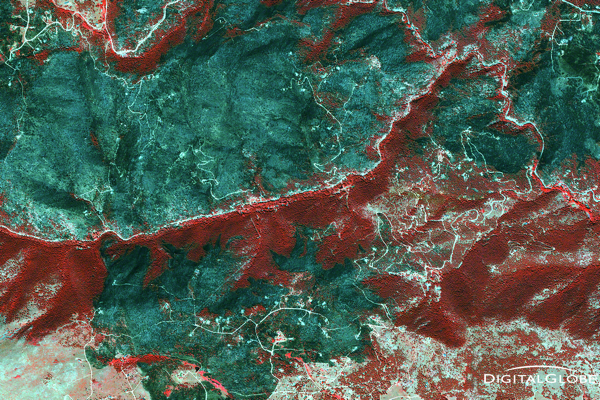
Today Esri announced that it has partnered with DigitalGlobe, and Harris to offer ArcGIS users access to a library of satellite imagery along with analytical and deep learning tools designed to help users gain insights from imagery at scale.
DigitalGlobe resources are huge. They have 17-year, time-lapse library of satellite imagery for the whole world. Combined with powerful Harris’ ENVI remote sensing analytics platform will give Esri users a powerful new set of tool that will allow making a full use of satellite data.
The new service will be called AllAccess+Analytics and will integrate DigitalGlobe’s Geospatial Big Data platform – GBDX, with Esri’s ArcGIS Enterprise 10.5 and Harris’ ENVI remote sensing analytics software. The images will be hosted on GBDX where users will be able to leverage the platform’s machine learning algorithms, together with Esri Raster Analytics, and ENVI imagery analytics. Everything will be accessible via ArcGIS. We can read in the press release:
“The AllAccess+Analytics offering will allow subscribers to tap into more than 100 petabytes of the world’s highest-quality commercial satellite imagery and the industry’s most advanced analytic and machine learning tools. By integrating directly with the Esri environment used by tens of thousands GIS professionals every day, we are making it easier to access our industry-leading image library and answer complex questions at global scale with world-class analytical capabilities.”
As Matt Sheehan pointed out this announcement is fascinating because it plugs petabytes of DigitalGlobe data and powerful analytics capabilities directly into ArcGIS, and I totally agree with him.

#

Next article

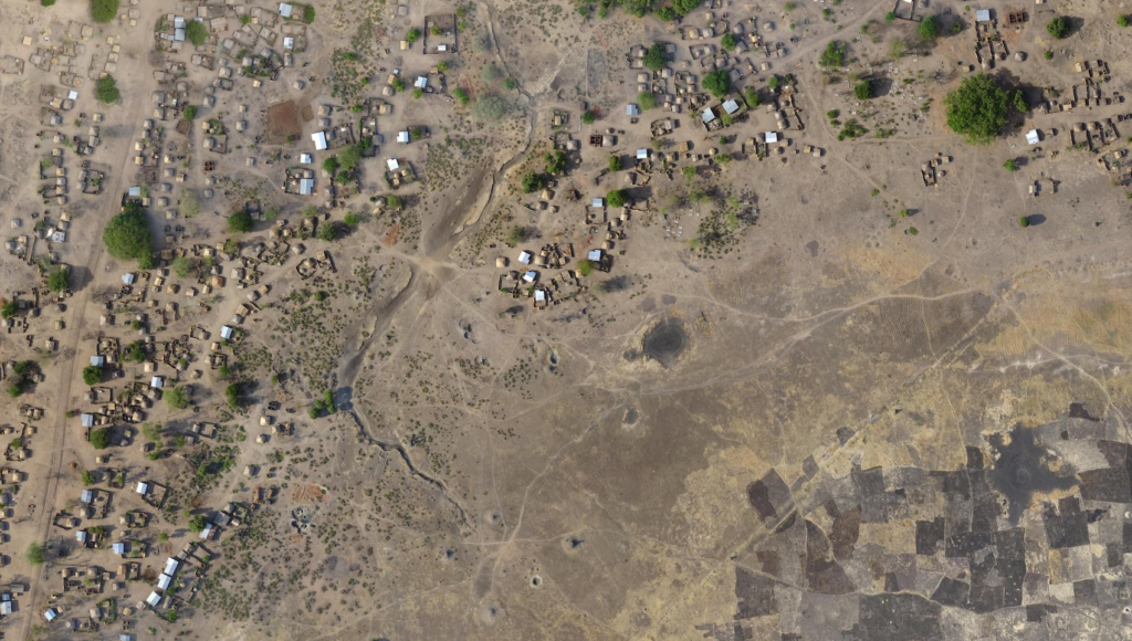
Open satellite and aerial imagery can be difficult to find, access and use. For HOT and our humanitarian partners, open imagery has been critical for disaster response and preparedness in places like Ecuador and Tanzania. For the past year and a half, OpenAerialMap has been providing access to openly licensed imagery for the OpenStreetMap and humanitarian community to try to make it easier. With user-friendly searching and map interactions, OAM has enabled anyone to download or contribute open imagery. Easy download access to imagery is the first step to make openly licensed imagery useable. But this only satisfies the need for advanced or experienced users. Enabling on-the-fly analysis or immediate use regardless of experience changes the way anyone can use open imagery. As a part of the #SatSummit conference last week, we rolled out the first of new updates to OAM to enable immediate use:
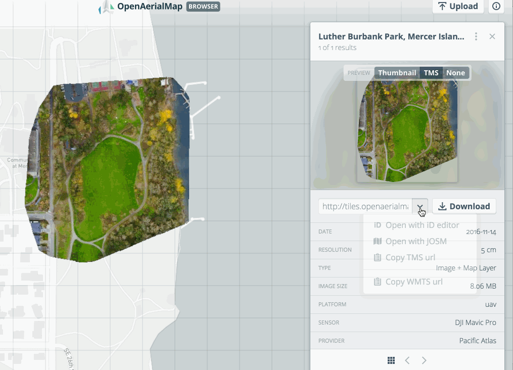
- OAM now has tiled map services (TMS and WMTS) for all uploaded imagery
- users can upload non-GeoTIFF formats
- imagery is now indexed available through GEOSS portal
- and we’ve removed the beta tag with a new URL
Map services for all uploaded imagery
All imagery that is directly uploaded through OAM now has web map services available. Standards like WMTS and TMS are web services that enable seamless integration with tools like QGIS, ArcGIS, or directly into iD or JOSM for OSM tracing.
Non-geotiff formats
Now when you upload to OAM, you can directly upload .jp2 formatted files. JPEG 2000 (JP2) is a compressed format that many drone and imagery processing software can create. It is a lightweight option for some users who need to conserve space on their local hard drive or have limited upload bandwidth. OAM now accepts submissions in JP2 format and converts them to a GeoTIFF format for storage.
GEOSS Portal
OAM is now fully available within the Global Earth Observation System of Systems (GEOSS) Portal. As a participating member of the Group on Earth Observations, we are now also providing data within the system to enable additional search and access with other imagery and earth observation products.
Out of beta
We’ve also officially taken off the beta tag and imagery is now accessible at https://map.openaerialmap.org. Over the past year, we’ve been working with our users and imagery providers to test and understand how to improve finding and sharing imagery. All of this work has been a part of a huge effort by our partners like Seth Fitzsimmons, Development Seed, and Azavea along with our funders the Australian Department of Foreign Affairs and Trade and the Humanitarian Innovation Fund.
Explore all the the new features at openaerialmap.org. Reach out to us on Twitter at @openaerialamp if you have imagery and want to share. Read more about the launch of OAM back in 2015, or the progress we’ve made over the last year.